Main content
Top content
Working Group Remote Sensing and Digital Image Analysis
Earth Observation (EO) systems are a key technology, providing spatially distributed and temporally frequent data on the earth‘s surface, e.g., in context of global change issues, susitabable land use, precision farming, and enviromental modelling. Today a variety of complementary remote sensing data is available, provided by EO systems that operate in different wavelengths. However, these data sets demand adequate techniques to fully exploit the potential of the data.
Our current research activities and outputs concentrate on advanced techniques in remote sensing, often driven by algorithms based on the field of machine learning and pattern recognition, to support our understanding of the coupled human-environment system.
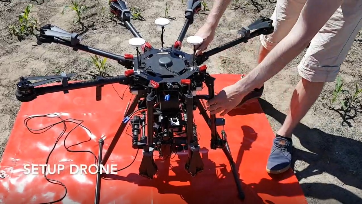
Drone flight
